International
UN Backs New World Map That Gives Africa More Accurate Size Representation
The United Nations General Assembly has backed a resolution calling for greater use of a world map designed to present the relative sizes of continent...
By Wavers News
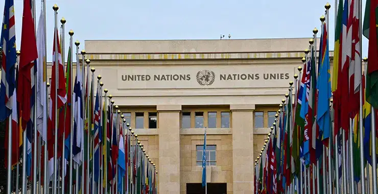
The resolution, supported by 164 countries, passed on Friday, while the United States voted against it and six countries abstained. The proposal promotes the Equal Earth projection as an alternative to the centuries-old Mercator projection.
The initiative was spearheaded by Togo, which has argued that the way the world is represented on maps can influence how people perceive different regions and their importance.
Togo’s Foreign Minister, Robert Dussey, said maps play a role in education and shape perceptions of the world. He argued that distorted representations can reinforce inaccurate ideas across generations.
The Mercator projection, developed by Flemish cartographer Gerardus Mercator in 1569, remains widely used. While it is effective for navigation because it preserves directions and angles, it significantly distorts the relative size of land areas, particularly those closer to the poles.
As a result, Europe and North America appear considerably larger than they actually are, while Africa and South America appear smaller. The Equal Earth projection, introduced by a group of cartographers in 2018, was designed to preserve the relative surface areas of continents while maintaining recognisable shapes.
Under the new projection, Africa, Latin America, South Asia and Oceania appear substantially larger than they do on the Mercator map, offering what its proponents describe as a fairer visual representation of the planet.
The United States opposed the resolution, with its representative criticising the UN for focusing on historical map projections instead of what Washington considers more pressing global challenges.
France, which co-sponsored the resolution, also announced that it would move away from the Mercator projection. French Foreign Minister Jean-Noel Barrot said changing maps would not alter the world itself, but correcting an inaccurate representation could contribute to a more truthful depiction of global geography.
The resolution does not mean that the Mercator projection will immediately disappear worldwide. Rather, it urges UN member states to consider adopting the Equal Earth projection for a more accurate portrayal of continental land areas.
The development represents a significant symbolic victory for African countries campaigning for a different way of presenting the continent on maps and challenging long-standing perceptions created by traditional cartographic representations.